EXPERIENCE ELEVATION
FIRST-CLASS AERIAL IMAGERY
With over a decade of experience in unmanned technologies and thousands of hours of safe flight operations, Porche Aerial is equipped to provide a comprehensive suite of services. These include LiDAR, Mapping, Thermal, Satellite, Timelapse, and Industrial Inspection Solutions.
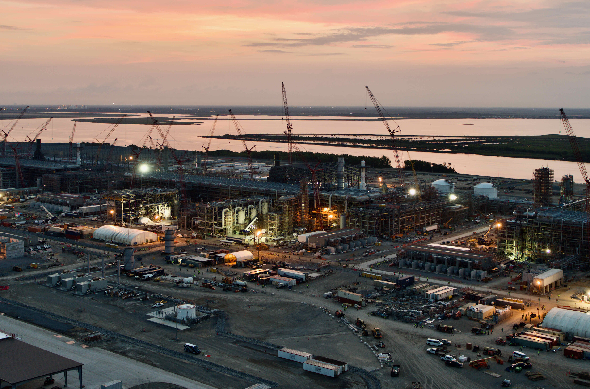
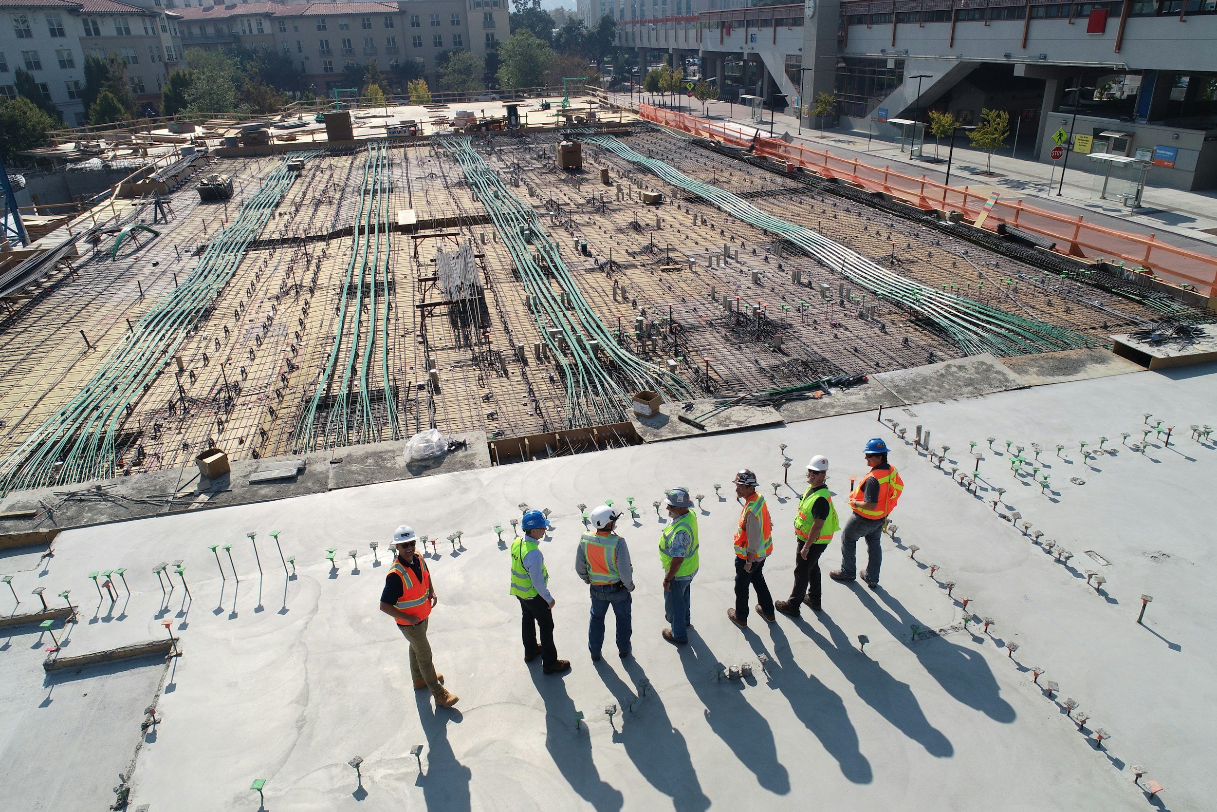
INDUSTRIAL SOLUTIONS
From construction progress tracking to asset inspections, we specialize in delivering tailored industrial imagery solutions designed to meet the specific needs of your project.
SAFETY IS priority
Our safety record is everything. With more than 14,000 flights completed and zero incidents, we prioritize safety at every stage. Each mission is conducted by highly skilled, FAA Part 107 certified pilots who adhere to rigorous safety protocols while complying with all federal, state, and local regulations.
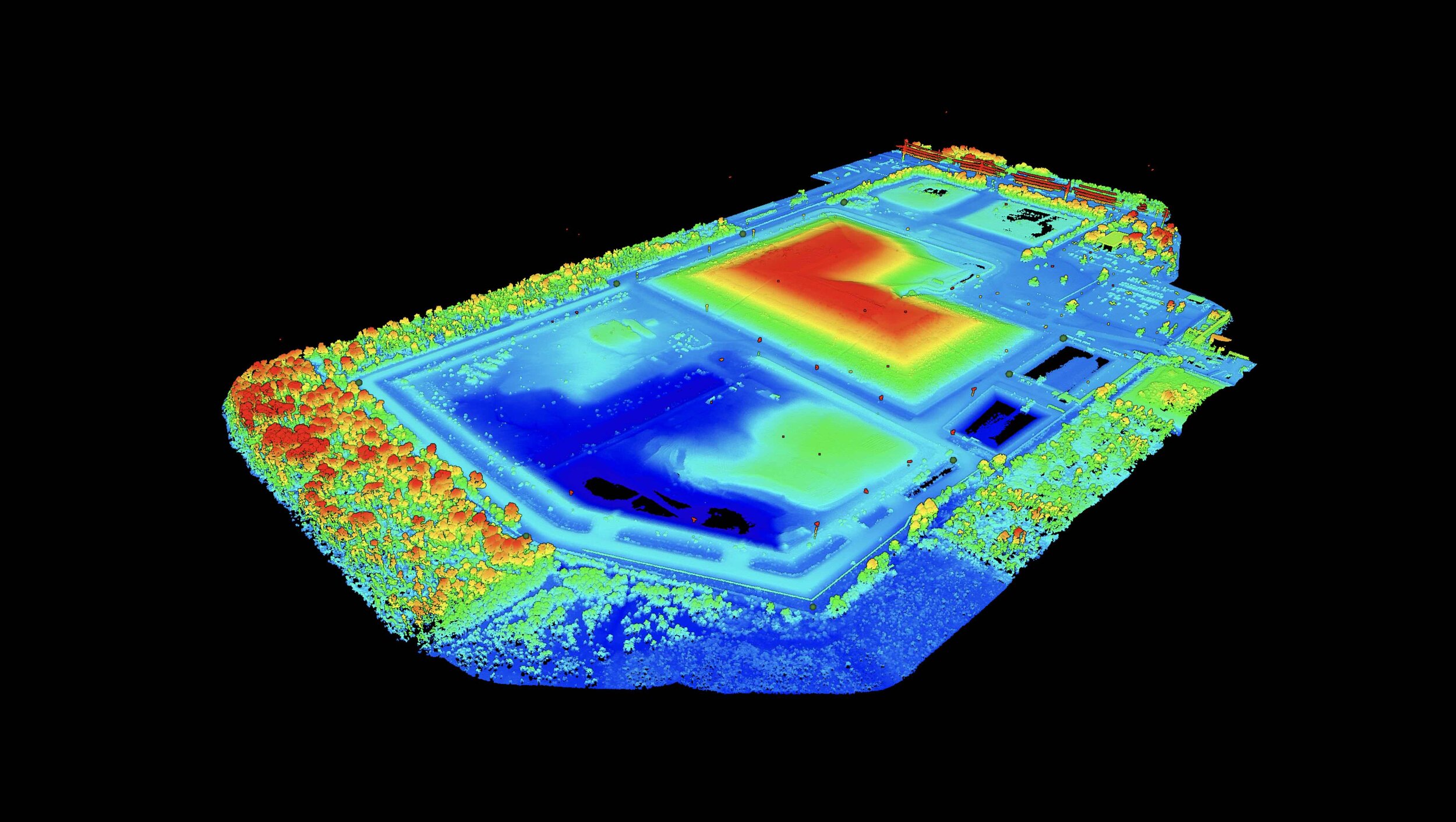
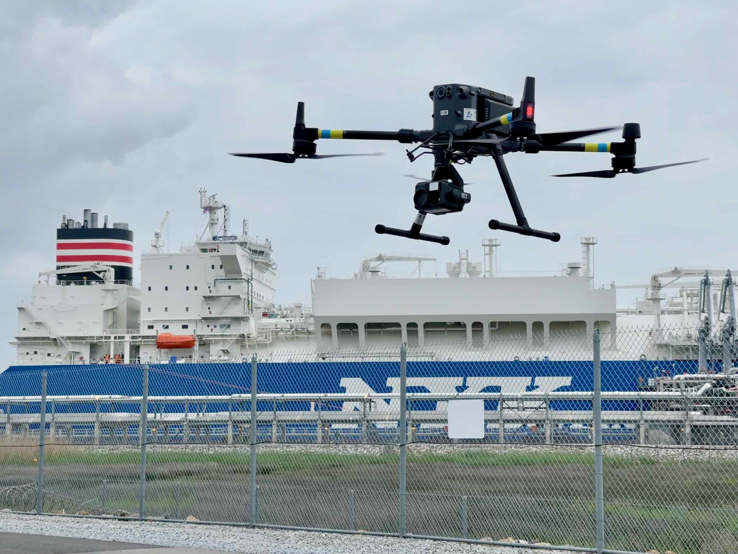
AERIAL LiDAR / MAPPING
State-of-the-art Airborne LiDAR and ortho mapping solutions with highly accurate point-cloud reconstruction. See your project like never before.
UNRIVALED DATA SECURITY
All client data is protected using 256-bit Advanced Encryption Standard (AES), with optional cloud-based hosting for images and videos. This approach ensures your data is securely archived and protected from corruption or loss.
THERMAL INSPECTIONS
Thermal inspections provide a powerful way to detect heat anomalies that are invisible to the naked eye. Using drone-mounted radiometric cameras, we deliver precise temperature data to help identify issues early, improve safety, and reduce costly downtime.
DRIVEN BY VALUE
We keep operations lean so our clients benefit from high-impact results without unnecessary cost. Our streamlined approach ensures every dollar goes toward results, not overhead.
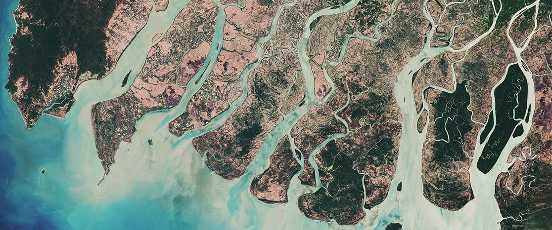
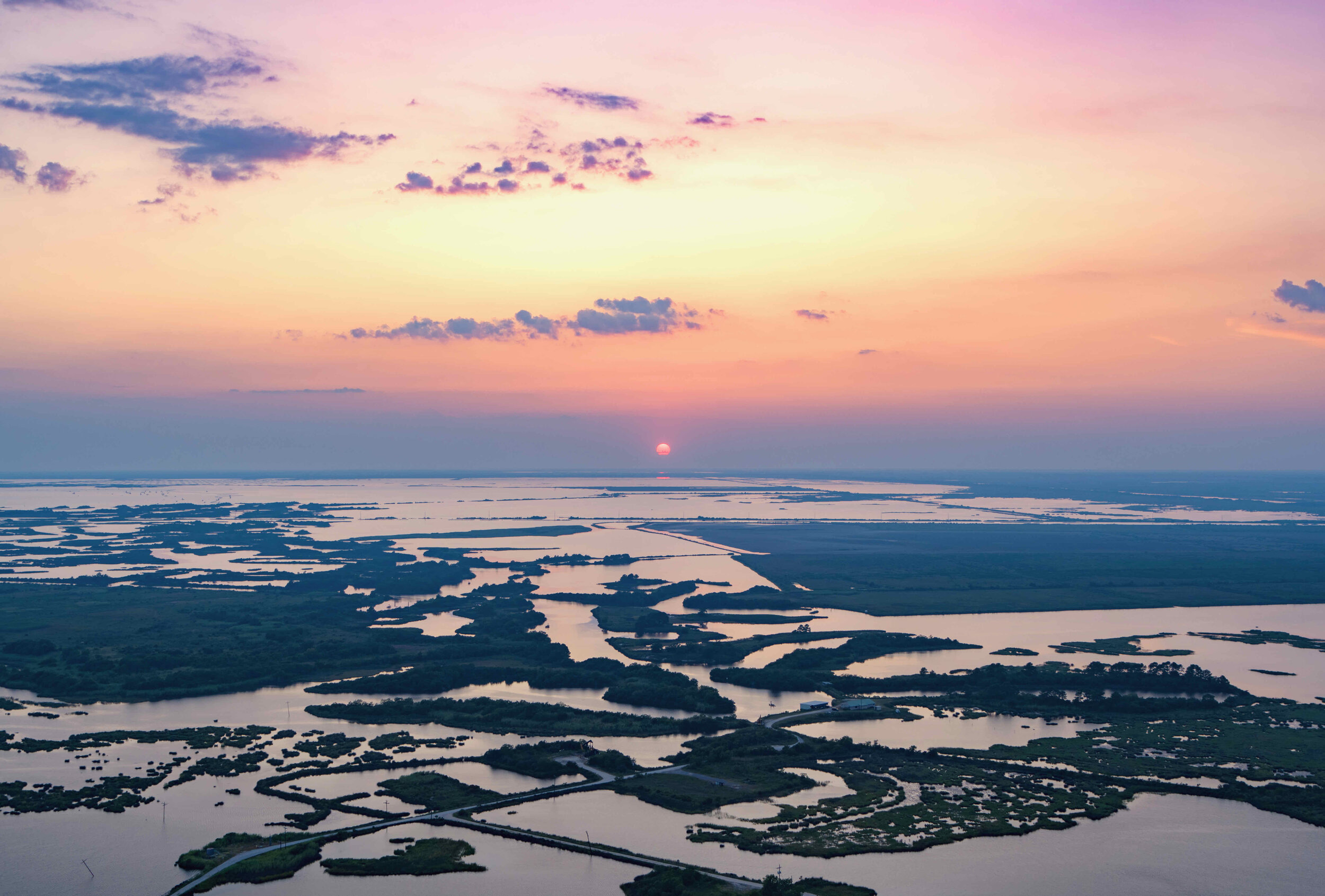
SATELLITE Imaging
Aerial imagery without limitations. Clients gain access to both archived and up-to-date satellite imagery captured from low-Earth orbit, expanding visibility far beyond traditional aerial methods.
PROVEN EXPERtise
Our team consists of highly skilled pilots with over 20 years of combined experience in aviation and project management. We provide expert guidance and top-tier data collection throughout every phase of your project. Your objectives are at the core of our mission.
TIMELAPSE IMAGERY
Capture progress with precision. Our advanced time-lapse systems document every stage of your project in stunning clarity and detail.
LOCAL FOCUS. GLOBAL IMPACT.
We have partnered with organizations of all sizes, from local firms to global corporations, delivering tailored solutions that meet objectives. Our diverse experience allows us to adapt, scale, and provide measurable value to every client we serve.

AERIAL IMAGERY SERVICES
Experience cutting-edge aerial photography and videography designed to elevate your perspective. Our imagery captures the full scope and detail of your project with unmatched clarity and precision.
PROVEN RELIABILITY. INDUSTRY TRUSTED.
Customer satisfaction is at the core of everything we do. Our team works diligently to exceed expectations and deliver on every objective. We take great pride in the feedback we receive and stand firmly behind the experiences of our clients.
-
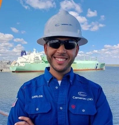
![A man wearing a white hard hat, sunglasses, and a blue uniform with 'Cameron LNG' and 'Carlos' embroidered on it, standing outdoors with a large ship in the water behind him.]()
“Porche Aerial has always done a 5-star job for us. I would highly recommend them!”
Carlos Campbell, Cameron LNG
-
![Portrait of a woman with long wavy brown hair, blue eyes, and pink lipstick, smiling at the camera.]()
“Very easy to work with and very accommodating. I received the footage in record time. The quality of video is excellent and the professionalism excellent. I highly recommend the services of this company.”
Meredith Taylor, HNTB Corporation
-
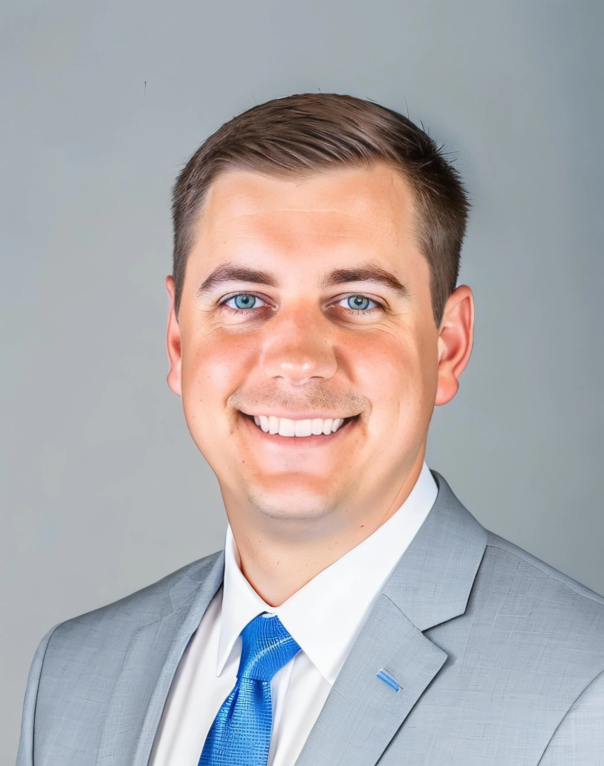
![Professional portrait of a smiling man with blue eyes, short dark hair, wearing a light gray suit, white shirt, and blue tie.]()
“Porche Aerial offered my client first class service in capturing aerial photography of their industrial facility. Highly recommend using Porche for your aerial photography needs!”
Kyle Herring, AllianceEPC
-
![Close-up portrait of a middle-aged man with short brown hair, light beard, wearing a dark blazer and light-colored shirt, smiling]()
“Anyone needing cinema quality drone video and a quick turnaround will not be disappointed working with this company.”
Grant Cruise, Oncor
-
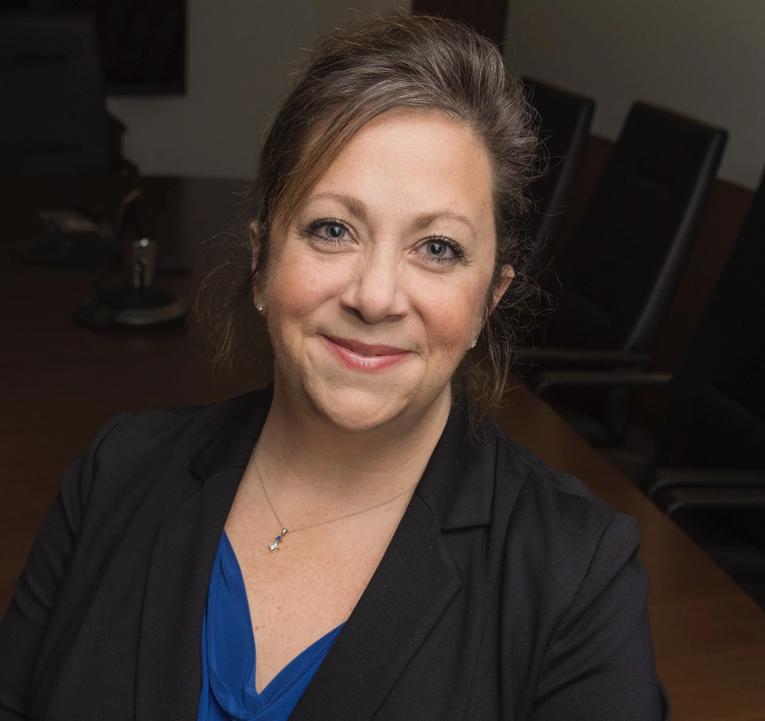
![A woman with brown hair and blue eyes smiling in a professional setting, sitting in a conference room with black chairs and a wooden table.]()
“Porche Aerial delivers quality product in a timely manner. They are always very easy to work with and take very good care of their clients. Great to have them in our corner!”
Roscette Houston, Cameron LNG
-
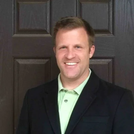
![A smiling man wearing a black blazer and light green polo shirt standing in front of a dark wooden door.]()
“Everything was done very well and on-time. The aerial 360º images and tour turned out beautiful. I look forward to working with them on other projects!”
Keith Rensink, VLSES
-
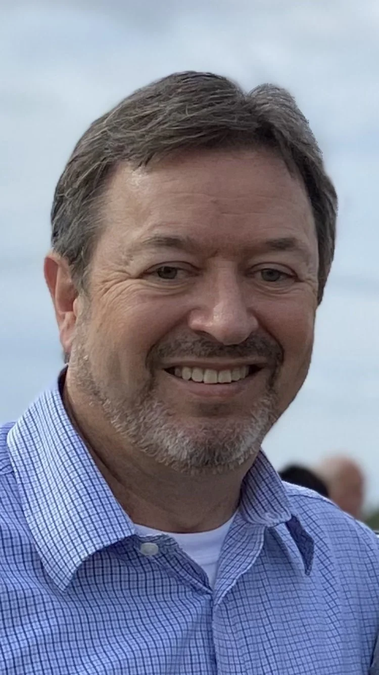
![A smiling middle-aged man with short brown hair and a light beard, wearing a blue checked shirt, standing outdoors against a cloudy sky background.]()
“Porche Aerial is a pleasure to work with and consistently delivers high quality drone imagery and products to our company and clients!”
Drew Cagnolatti, Southland Environmental